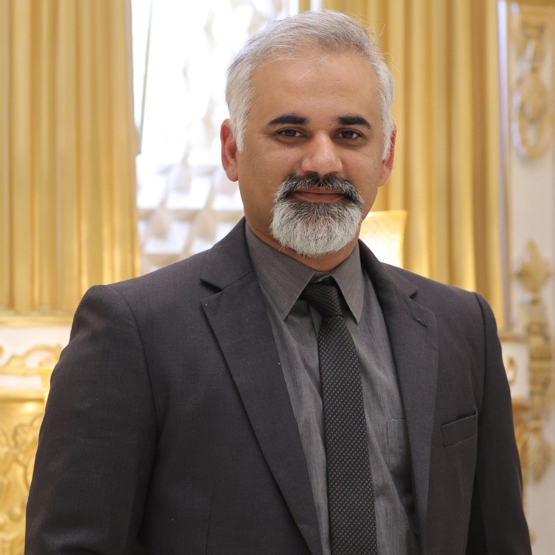
About

I have spent majority of my life working in Islamabad, beautiful capital city of Pakistan, an open-minded and flexible person with a real passion about geoinformatics, always keen to groom & up my skills by learning new things.


  • Over a decade experience of building & deploying Web based develpoment with focus on building complex scalable GIS Solutions.
  • 7 years of freelance development experience with 75+ projects, 100% rating & Top Rated Plus badge for a multi-lingual & multi-tech client base
  • Passionate to do a Phd in the field of Geoinformatics / GIS
  • Experienced in frameworks like Django, Mern-Stack, Full-stack, ReactJs, React-Native
  • Highly competent in major mapping libraries including Openlayers, Leaflet, Mapbox, ArcGIS etc.
  • Proficient in major programming languages including Python, Jscript, PHP, .Net etc.
  • Strong grip over majority of GIS softwares including QGIS, Arcmap, Global Mapper, GDAL, OGR, bash etc.
  • Proven experience with renowned RDBMS including Postgresql + PostGIS, MySQL, MongoDB etc.
  • Expert in building front-ends using frameworks (full-stack or Reactjs)
  • Fluent in handling multiple AWS services including Ec2, Route53, S3 etc.
  • Basic Information
    Experience:
    15 years
    Email:
    m_umairr@yahoo.com
    Phone:
    +44-743-7163426
    Address:
    Newcastle Upon Tyne, United Kingdom
    Language:
    English , Urdu , Punjabi
    My Tech Stack
    JavaScript
    100%
    CSS | BOOTSTRAP
    95%
    Openlayers / Leaflet
    100%
    Openlayers-Ext
    100%
    Postgresql
    95%
    Git
    95%
    Python
    95%
    Github Repos
    95%
    Projects Showcase
    unsplash random image
    Pakistan Drought Management System

    Project: Python, GEE based Indice calculations & Visualizations

    Tech Stack Used:

    GEE, Python, Reactjs, Leafletjs, Docker, Postgresql, Geoserver, Antd

    Read More
    unsplash random image
    Nassau County Mobility Fee Calculator

    Project: Nassau County, Florida, USA - Mobility Fee Calculator

    Tech Stack Used:

    Openlayers, Reactjs, MySQL, Geoserver, Formulas

    Read More
    unsplash random image
    Sindh Resilience Project - SRP

    Project: Geovisualization and GIS based Flood Modelling

    Tech Stack Used:

    PHP, Python, Docker, Leaflet, Openlayers, Geoserver, Hec-RAS, RRI

    Read More
    unsplash random image
    Multi Satellites Catalouge

    Project: Ordering Catalouge - Ordering

    Tech Stack Used:

    SRS Ordering,Complex Searching, Hybrid blend

    Read More
    unsplash random image
    Data As a Service

    Project: WMS, WCS, WPS based data serving

    Tech Stack Used:

    Openlayers, GIS, WMS / WCS / WPS

    Read More
    unsplash random image
    Food-Hub

    Project: Geovisualization and Advanced GIS including complex datasets

    Tech Stack Used:

    Geo-visualization,Complex datasets

    Read More
    unsplash random image
    Omnia Hub

    Project: Mobile based Field Manipulation

    Tech Stack Used:

    Openlayers,GIS, Mobile Responsiveness

    Read More
    unsplash random image
    NetGen

    Project: Distance, Directions calculation

    Tech Stack Used:

    Leaflet, Directions, Path breakdown

    Read More
    unsplash random image
    Australian Data Solutions

    Project: A real-estate portal

    Tech Stack Used:

    Dashboard, ReactJs, Mapbox

    Read More
    unsplash random image
    Silver Farm

    Project: Evaluation of Agriculture Fields

    Tech Stack Used:

    Openlayers, Postgresql

    Read More
    unsplash random image
    Stamp Tool

    Project: Telecomm Survey Field App

    Tech Stack Used:

    Openlayers, Postgresql, PHP

    Read More
    unsplash random image
    Kine Map

    Project: Belgium's first Therapists Portal

    Tech Stack Used:

    Openlayers, MySQL, PHP, Postgresql

    Read More
    unsplash random image
    Down Wind Fun

    Project: Downwind routes drawing / catalog

    Tech Stack Used:

    Openlayers, OL-ext, Mapbox

    Read More
    unsplash random image
    Election Comission GIS

    Project: A GIS based desktop app for Election Results

    Tech Stack Used:

    C#, .Net, ArcEngine

    Read More
    unsplash random image
    Geo One Tech LLC

    Project: A US based Tech Company

    Tech Stack Used:

    Wordpress, PHP, MySQL

    Read More
    unsplash random image
    Go Tech Portal

    Project: A GIS based web portal for GeoOneTech LLC

    Tech Stack Used:

    Postgresql,Geoserver, Openlayers

    Read More
    unsplash random image
    SENELECT

    Project: Geovisualization and Senegal Election Results

    Tech Stack Used:

    Geo-visualization, Geodatabases

    Read More
    unsplash random image
    Aks-e-Pakistan

    Project: SRS & Vector Datasets Hub for Pakistan

    Tech Stack Used:

    Openlayers, Geoserver, Postgresql

    Read More
    unsplash random image
    Punjab Mauza Digitization

    Project: A GIS based web portal for 16 Distircts Mauza

    Tech Stack Used:

    Postgresql,Geoserver, Openlayers

    Read More
    unsplash random image
    Data Licensing Service

    Project: Geovisualization and Advanced GIS

    Tech Stack Used:

    Geo-visualization, Complex datasets, Online Web Processing

    Read More
    unsplash random image
    MapOzone

    Project: Geovisualization and Advanced GIS

    Tech Stack Used:

    React, Leaflet, Geo-visualization

    Read More
    Education

    2020-2023

    MS Degree
    MS RS & GIS

    Institute of Space Technology, Islamabad

    CGPA : 3.73 %

    2005-2009

    Bachelor of Science
    Software Engineering

    University of Engineering & Technology (UET), Taxila

    Marks Obtained : 81.75 %

    Work Experience

    March 2024 - On going

    Spatial Days Ltd.
    Software Developer

    Working as full-stack developer primarily with front-end role on multiple projects:

    Responsibilities include:

  • Development & deployment of front-end portals using React ,Openlayers & Redux
  • Back-end API development, deployment, integration and maintenance using Django & Docker
  • Managing pipelines & various models responsible for remote sensing tech stacks using RasterIO, Numpy & Celery
  • Maintain containerised environment for generic deployment using a combination of Docker, Kubernetees, CI/CD pipelines
  • Design & develop front end using core Reactjs for accessing and evolving back-end API calls using JavaScript, usage of MaterialUI, Antd, Chartjs etc.
  • Designing & choosing better tech stack & system architecture for a reliable service
  • Managing & fixing any github issues, pull requests & deployments via git control of various repos
  • May 2023 - October 2023

    Ladar Ltd.
    Software Developer

    Working as software developer on EU project “SafeNav” to design & develop back-end APIs

    Responsibilities include:

  • Design, development & deployment of micro-services via Fast-API Python framework
  • Authorization & template integrations for micro-services via PASETO/JWT tokens
  • Managing ingestion, integration & handling of vector datasets for creation of spatial databases using PostgreSQL + PostGIS
  • Achieve & maintain containerised environment for generic deployment using a combination of Docker, GitHub, CI/CD & Digital Ocean droplet
  • Assisting technical lead on progress, potential security risks & preferred system architecture for a reliable service
  • R & D over best possible solutions, innovating solution-oriented initiatives, implementing and ensuring compliance with coding standards
  • Member of Technical Team meetings, designing flow diagrams, & handling JIRA tickets
  • May 2016 - May 2023

    Space & Upper Atmosphere Research Comission (SUPARCO)
    Manager / GIS Developement
  • Lead developer for planning, developing & executing geospatial based projects from scratch till deployment using latest tech stack (Leafletjs, OpenLayers, Jscript, Reactjs, Bootstrap, MERN Stack, Geoserver, PostGIS)
  • Developed country level GIS solution “Aks-e-Pakistan” encompassing 100+ vector datasets, petabytes of historic satellite data, temporary user mapping to incorporate & rely on SUPARCO’s self-available resources and avoid enterprise dependency
  • Developed SUPARCO’s first ever digital interface “Order Management System (OMS)” to place an order of satellite imagery for government entities
  • Undertook initiatives to develop & integrate on the fly web-based geoprocessing via WPS, Python APIs for end users
  • Overlooking & managing a team of engineers/developers to ensure delivery, development procedures & data consistency for Geo-spatial data management, databases, and solutions.
  • Build and develop tools or processes in conjunction with other teams for on-time, quality release of data products, services, and applications.
  • Creating, managing, and troubleshooting services for developed products, associated datasets, services, features, and web-based processing tools.
  • Assisting management with strategic planning by researching latest industry trends, marketplace solutions, and emerging technologies
  • Diagnosing & troubleshooting complex system application issues, identifying, analysing, and fixing bugs to fix performance issues.
  • Responsible for overlooking data centre activities, management & security for highest availability, reliability, and disaster recovery solutions.
  • Nov 2010 - April 2016

    Space & Upper Atmosphere Research Comission (SUPARCO)
    Assistant Manager / GIS Developer
  • Derived & delivered various desktop & web-based Geographic Information Systems for solutions delivery timely
  • Worked on developing desktop based spatial solutions using C# Win-forms, ESRI ArcEngine & MS SQL Server handling vector datasets
  • Design, development & deployment of large scale geo-spatial web applications primarily using ASP.NET, PHP, Jscript, Openlayers, Geoserver, Postgis, MapProxy, multi-satellite Remote Sensing imageries, etc.
  • R & D over best open-source tools/libraries to achieve self-independent, customized & controlled solution deliveries using Git Bash, GDAL, TileCache, MapProxy & GeoWebcache
  • Design & developed strategies to render hundreds of terabyte time-series RS data from multiple satellites effectively and efficiently for faster processing through GDAL pyramids, Inner tiling, offline tiling
  • Redesigned deployed ERDAS Apollo, designed & developed SUPARCO’s first customized Satellite Imagery Catalog using GeoNetwork to replace ERDAS Apollo
  • Development, maintenance & integration of demographic data sets into spatial solutions
  • Writing up codes & scripts to automate processes & replace manual efforts
  • Aug 2009 - Oct 2010

    Tradepoint 360 Inc.
    Jr. Software Engineer

    Worked on the following products:

  • Retail application.
  • Kiosk application.
  • Reporting Engine/Tool.
  • Responsible for:

  • Development of the macros based on VB.NET & C# by using a code engine, to use it with retail/kiosk application.
  • Writing of SQL queries by using the reporting tool for retail application.
  • Contribution into the release of the Service Pack 1 of the retail product.
  • Participation in QA (Quality Assurance) activities.
  • Client After sale support & Technical Services
  • Writing up Knowledge based Articles
  • May 2016 - Present

    Upwork
    Freelancer / Consultant
  • Multi-lingual & domain client base
  • Successful delivery of projects built from scratch till deployment
  • Top Rated Freelancer for 8 consectuive years
  • Github Calender
    Github Analytics
    Certifications

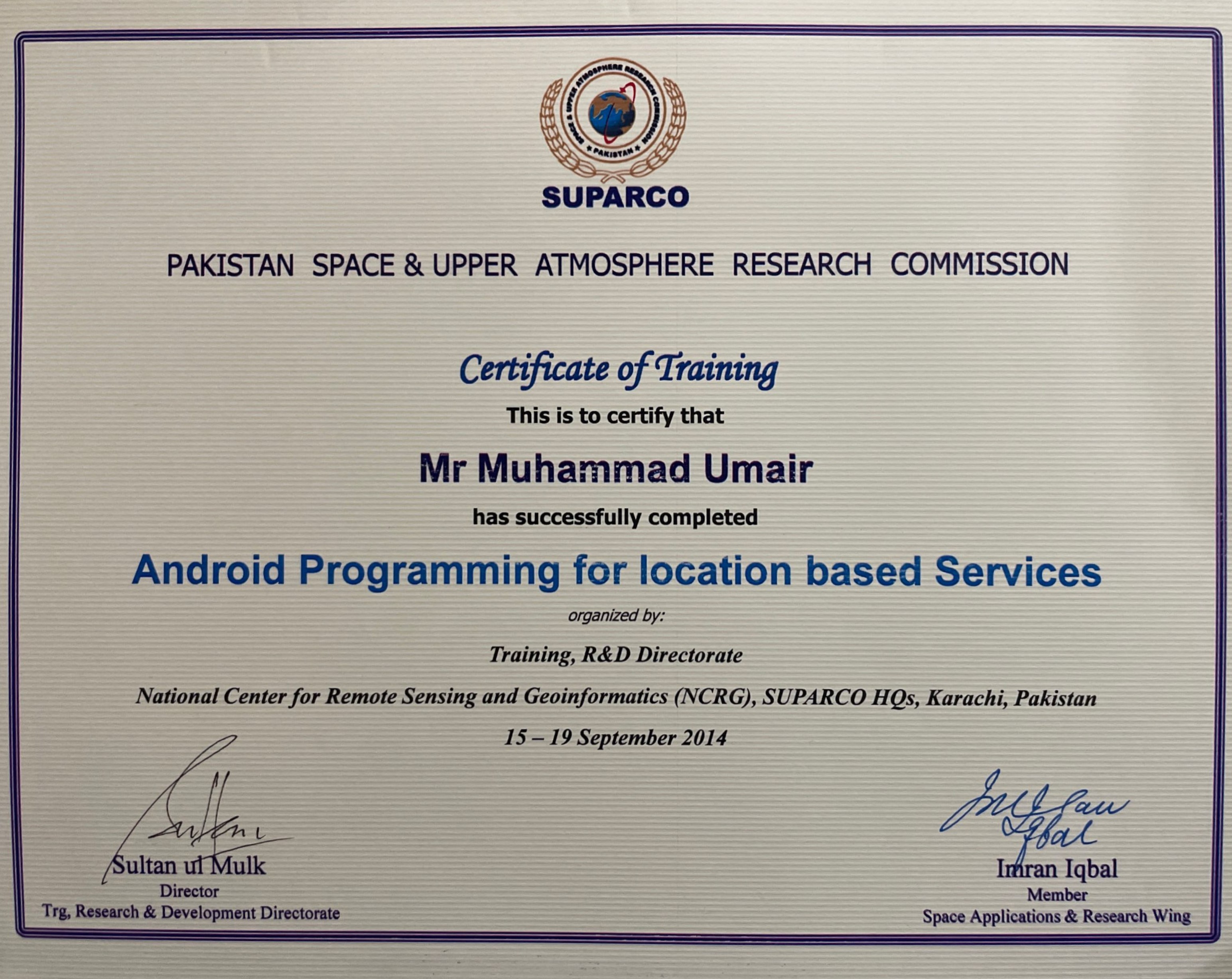
    NCRG

    Smiling chick

    Android Programming

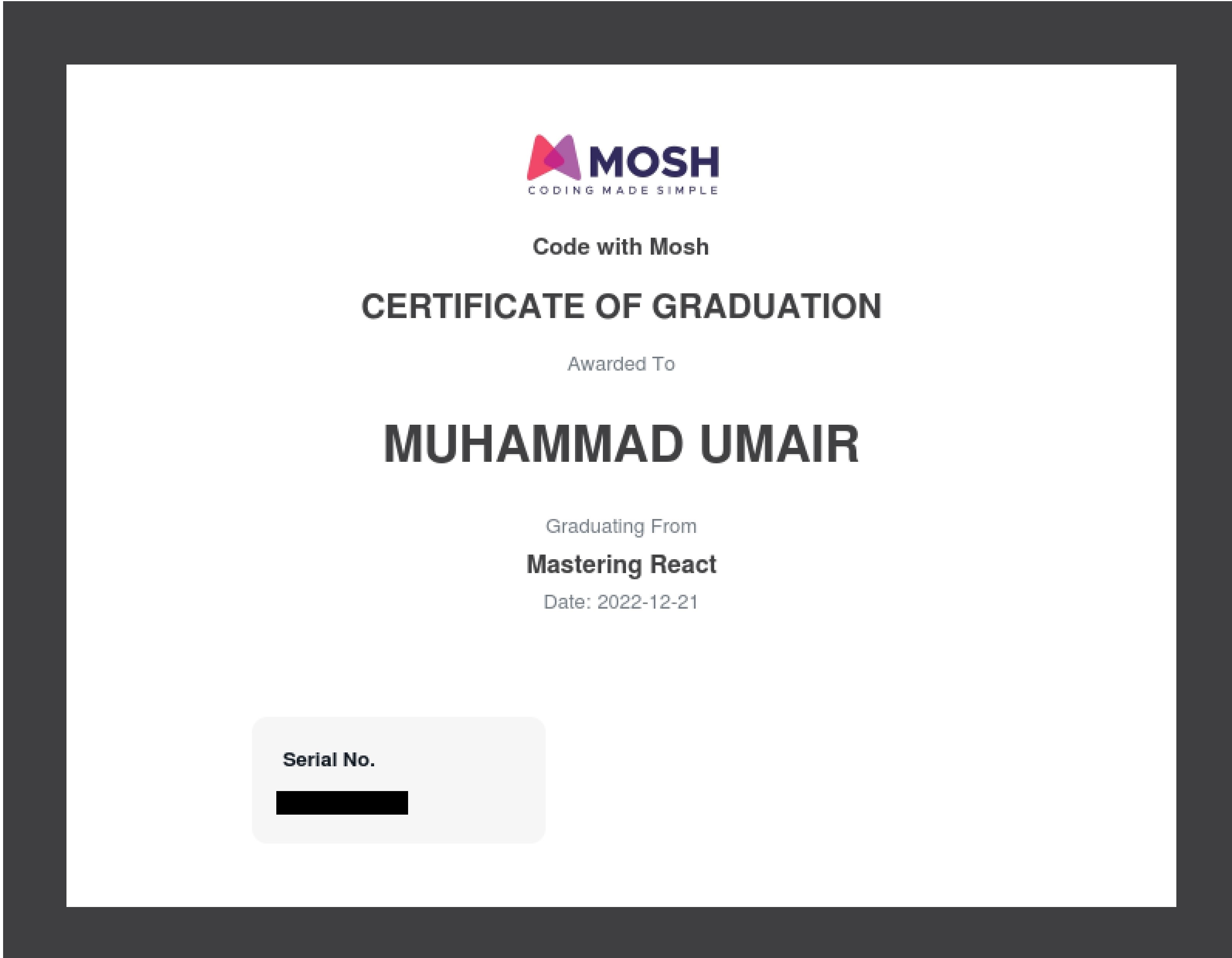
    Code With Mosh

    Smiling chick

    "Mastering React"

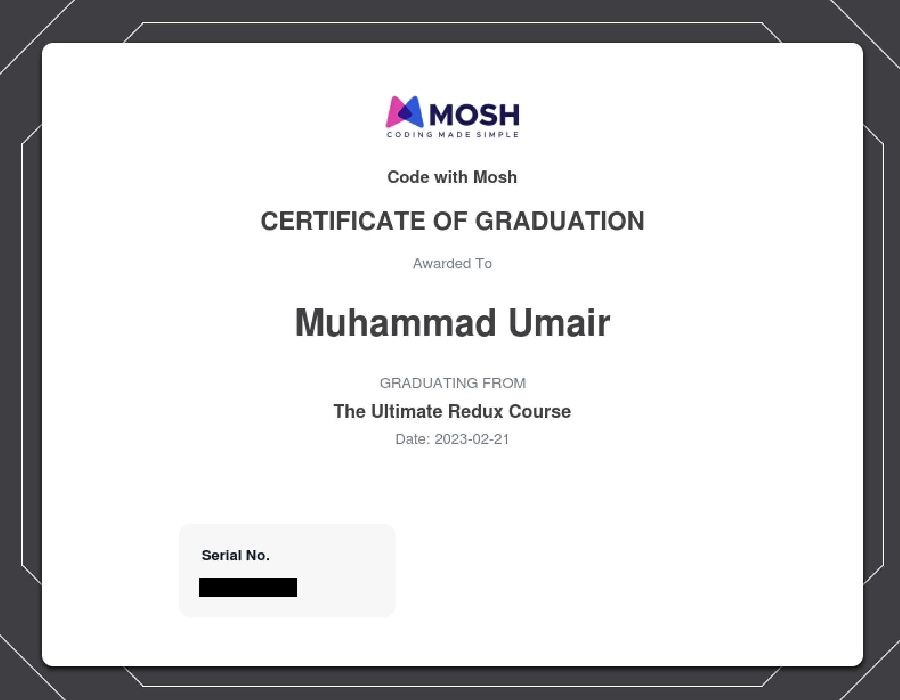
    Code With Mosh

    Smiling chick

    "Ultimate Redux"

    Coursera

    Smiling chick

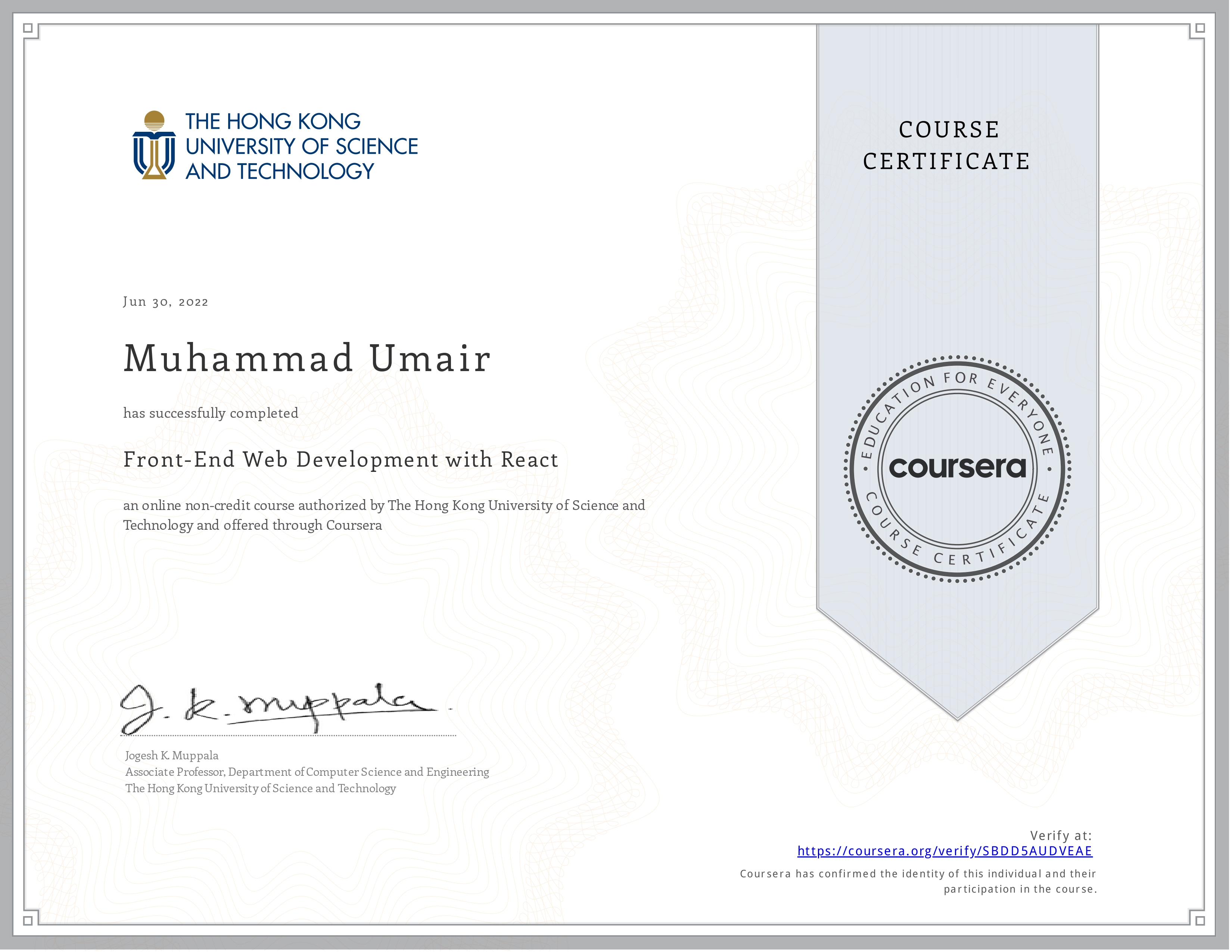
    "Front-end Development with React"

    Coursera
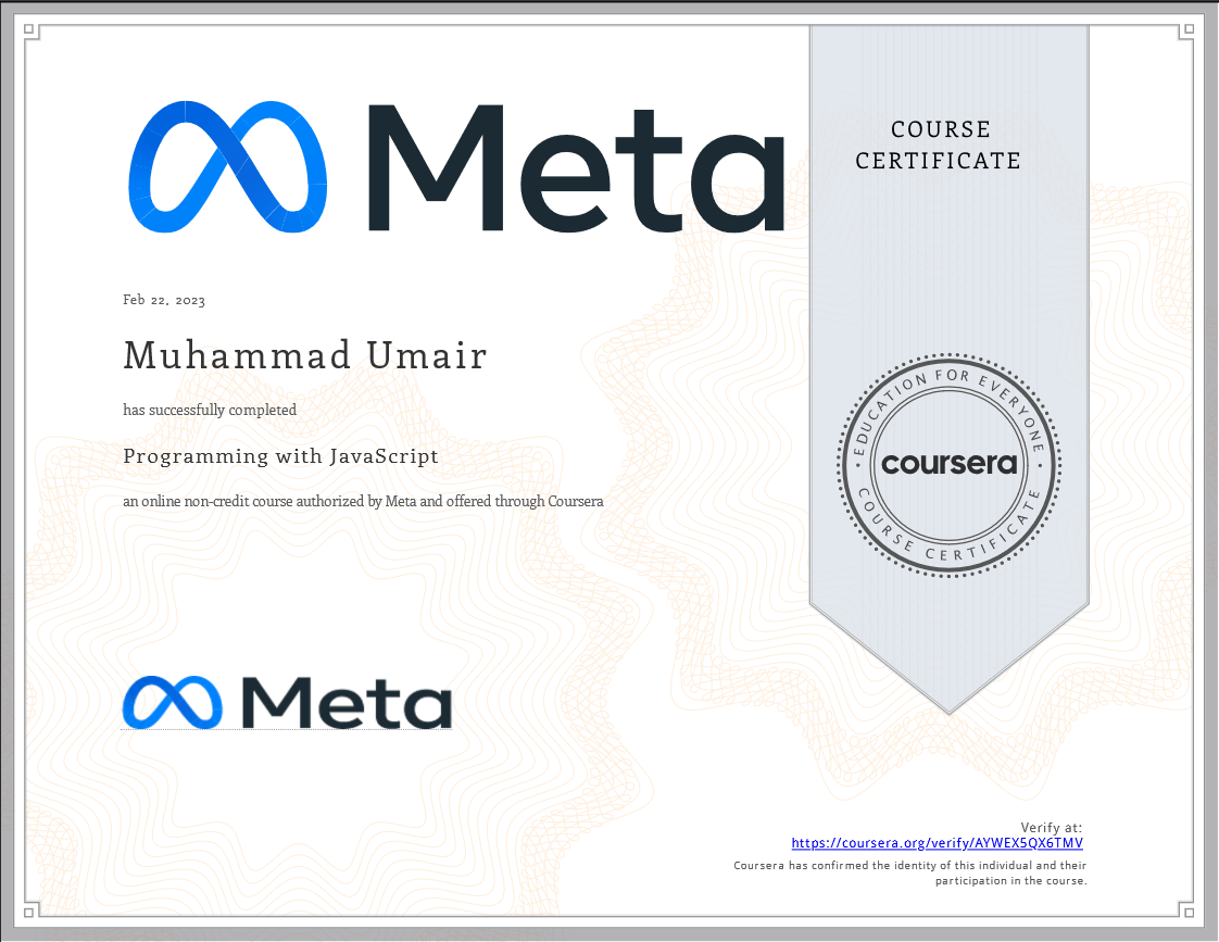
    Smiling chick

    "Programming with Javascript"

    BYJU's

    Smiling chick

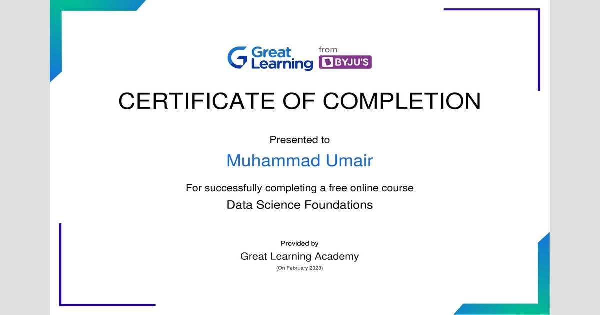
    "Document Image Analysis"

    Certificate
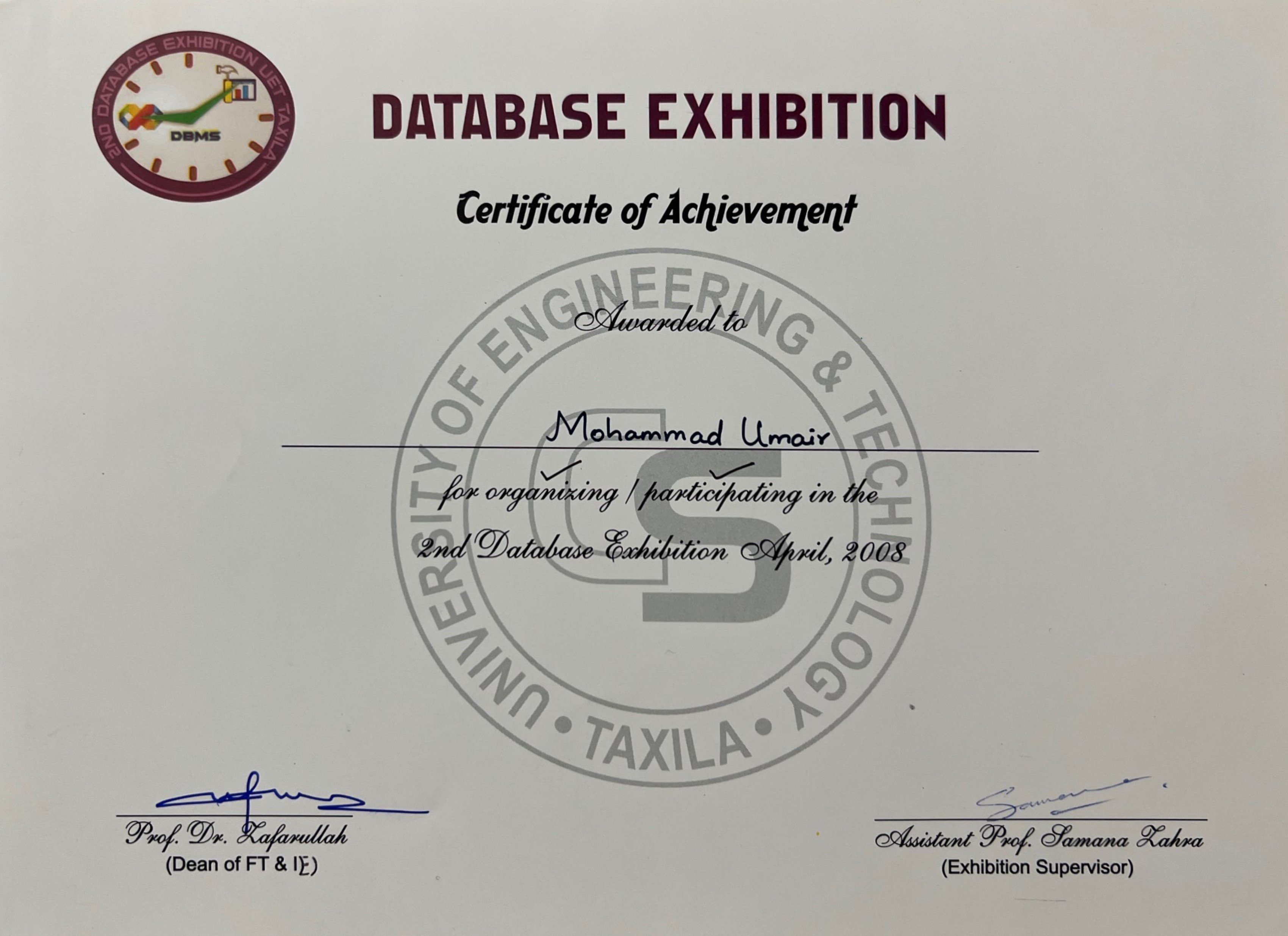
    Smiling chick

    "Database Exhibition"

    NCRG

    Smiling chick

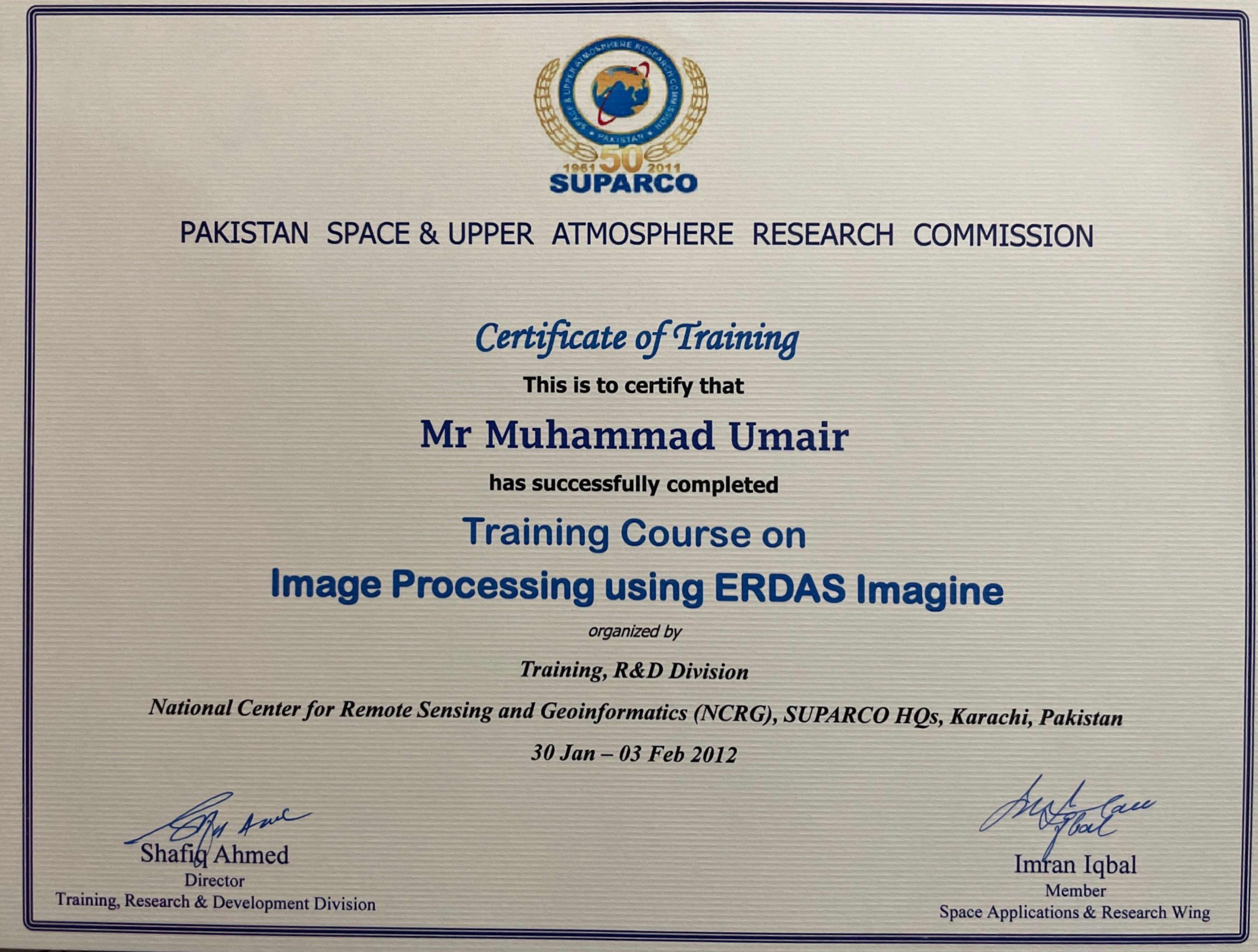
    "ERDAS Imagine Training"

    Coursera

    Smiling chick

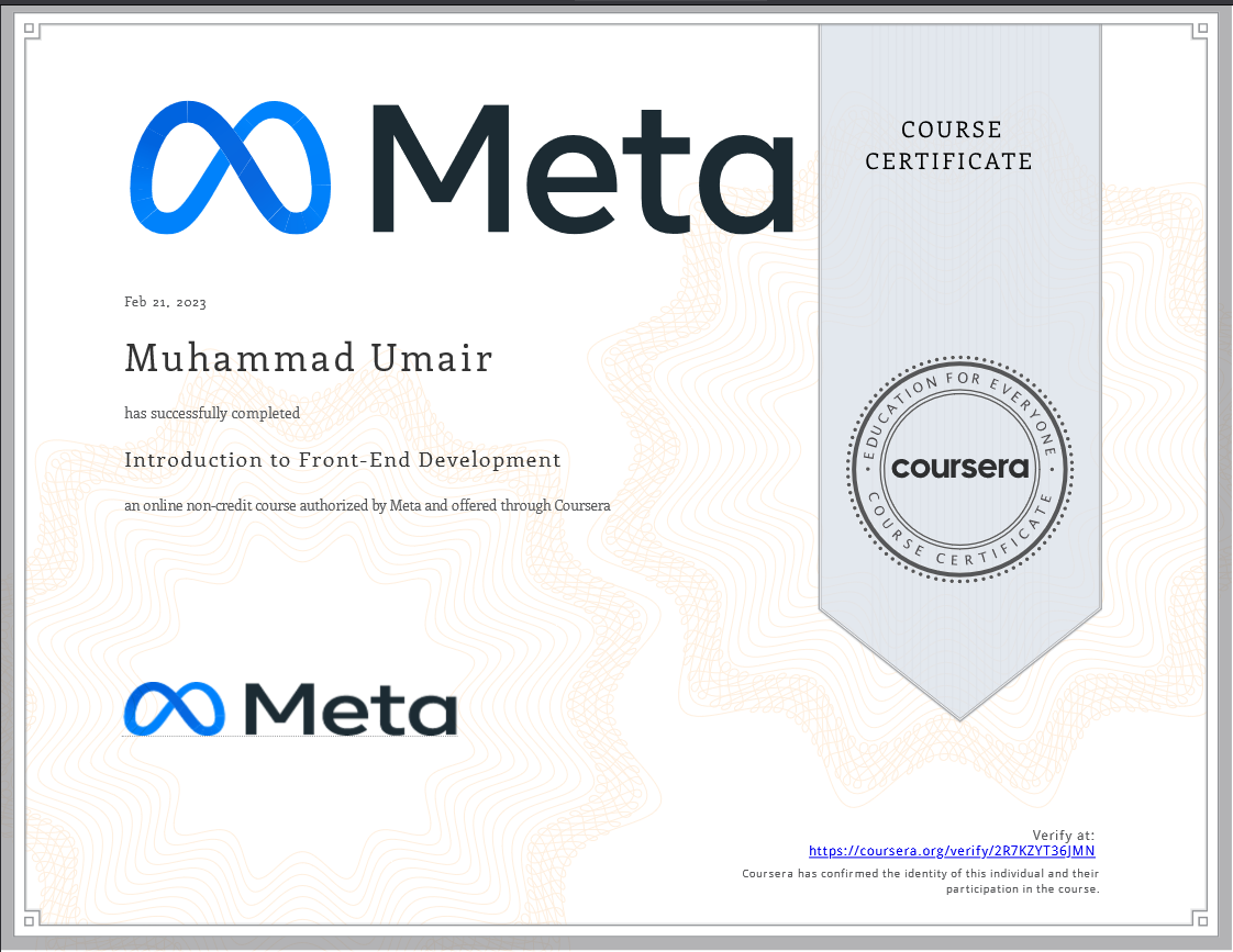
    "Front-end Development"

    Certificate

    Smiling chick

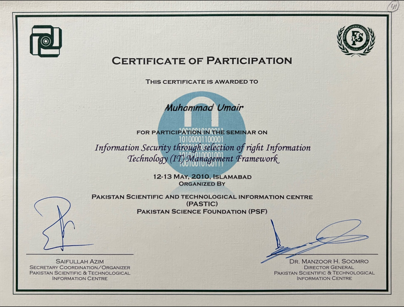
    "IT Security Seminar"

    PSTD

    Smiling chick

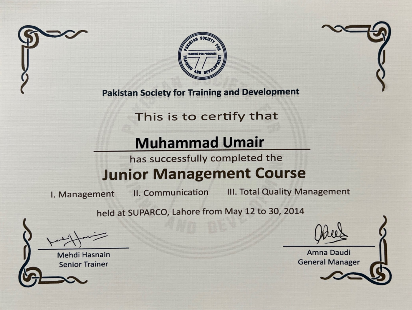
    "Junior Management Course"

    LUMS

    Smiling chick

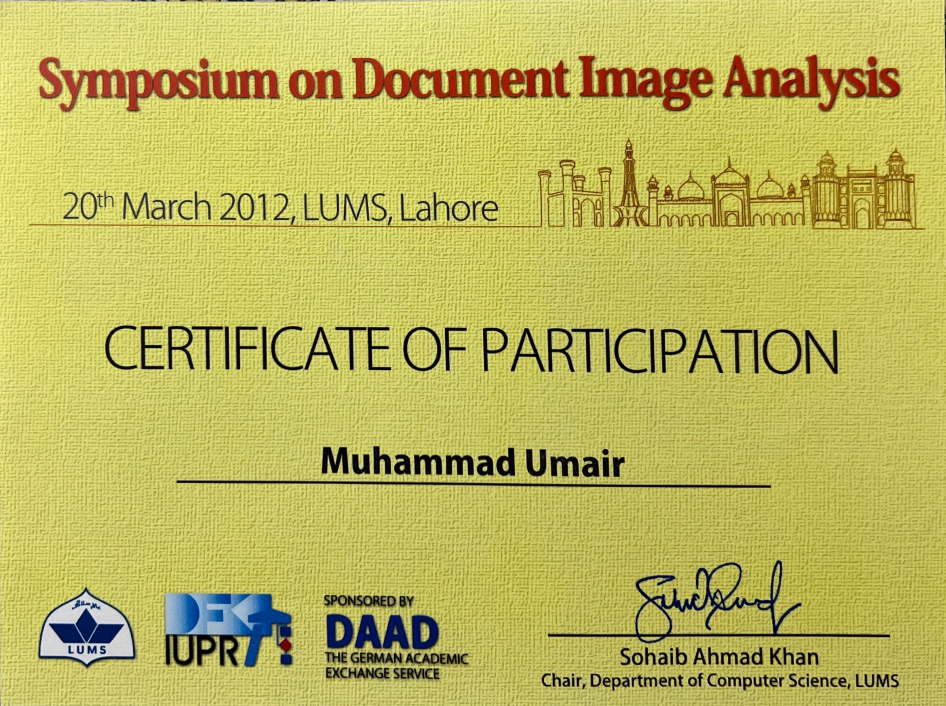
    "Symposium Image Analysis"

    Certificate
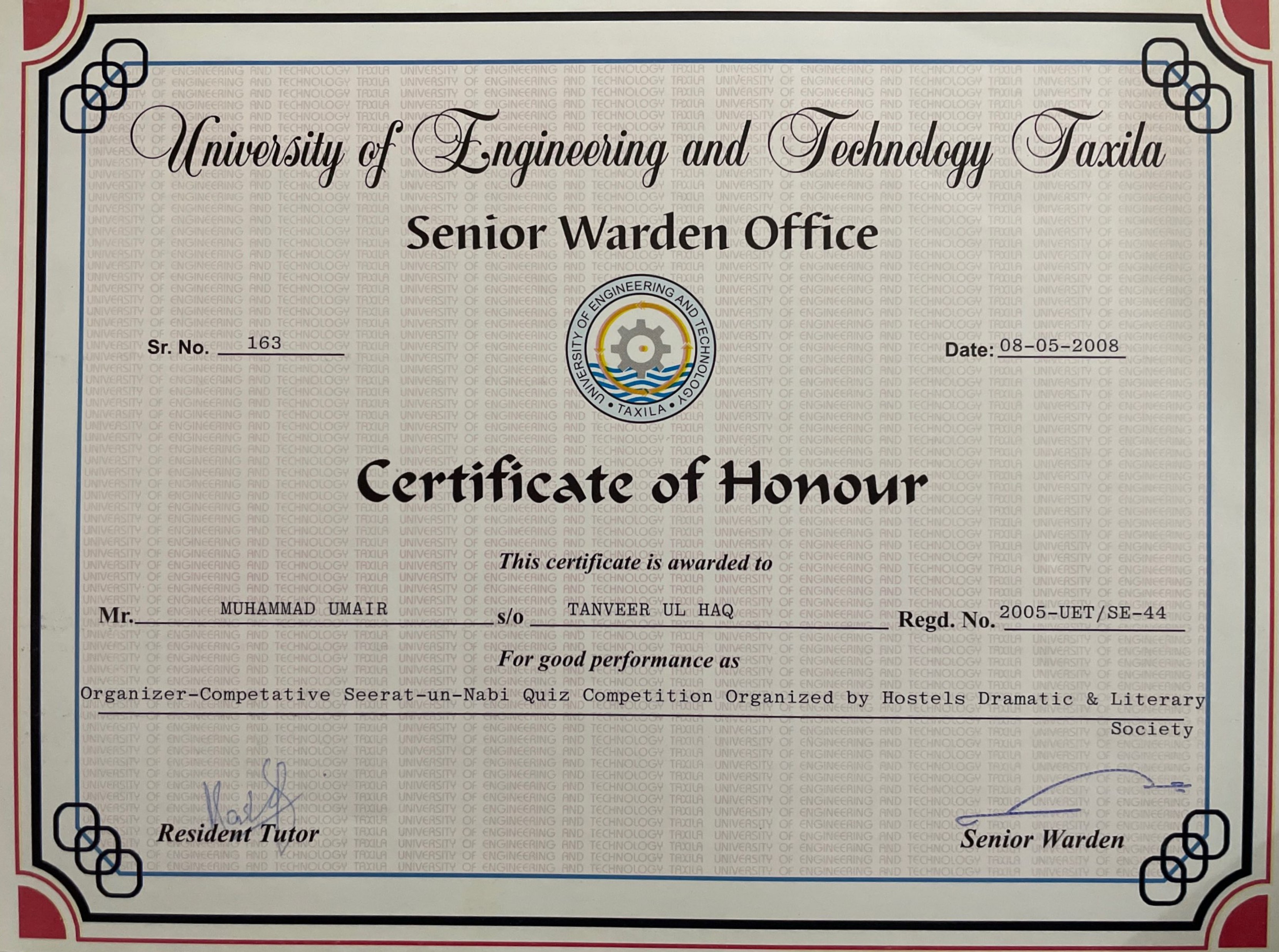
    Smiling chick

    "UET Hostel"

    SACRED

    Smiling chick

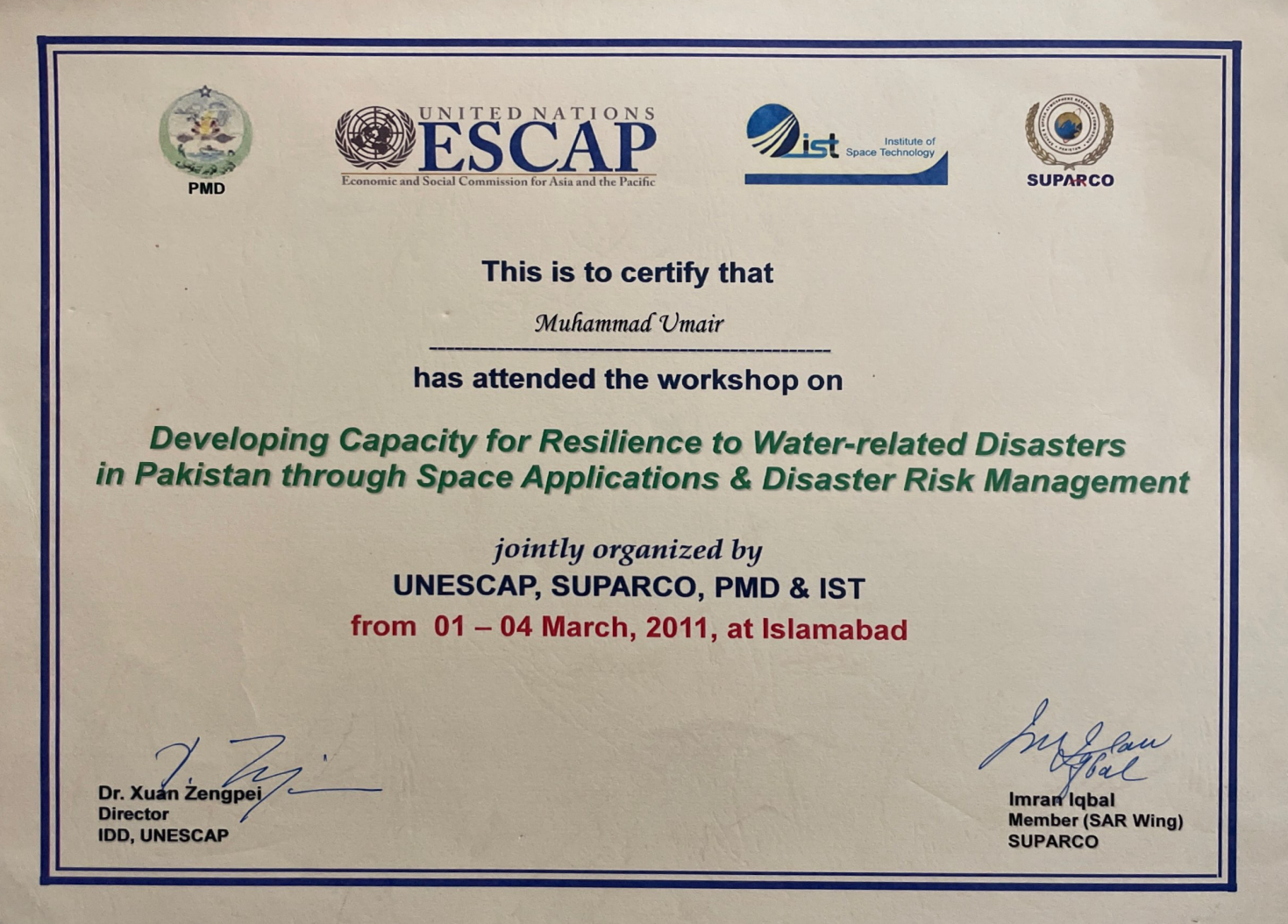
    "UN Workshop"

    Contact Me
    Feel free to contact me

    Address

    Newcastle Upon Tyne, NE4 9BQ, United Kingdom

    Phone

    +44-743-716-3426

    Email

    m_umairr@yahoo.com